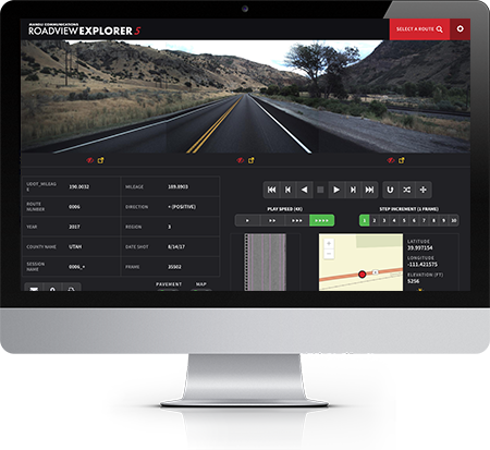
Roadview Explorer is used by various state Departments of Transportation to view roadway assets and pavement images for the purposes of roadway project planning.
Anachronism Press Case Study

Roadview Explorer
Each DoT wants to see a unique combination of image types and asset metadata, so the application is built to be configurable by state. It can also be easily localized into another language.
Project challenge
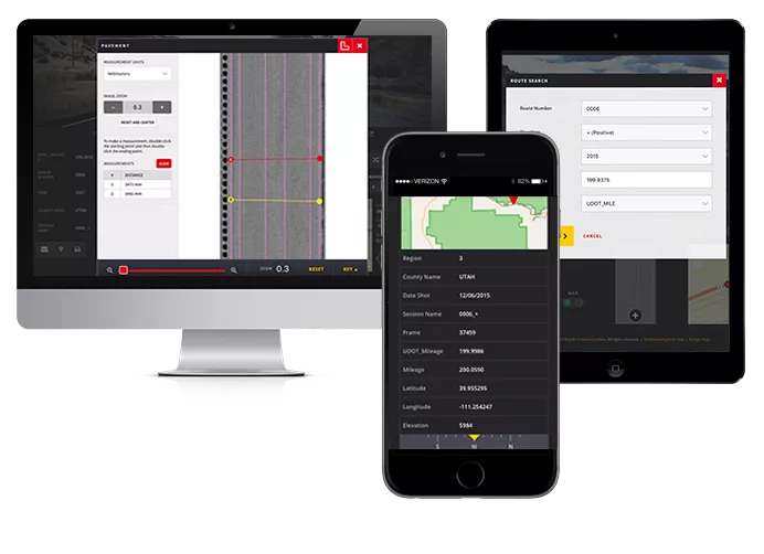
Create a responsive web application that pulls in images, GPS locations, and other data and presents that information into an intuitive, easy-to-use interface.
Our solution
Roadview Explorer as seen on a desktop, laptop, and phone.